Instructor: Mark Shepard
ARC 605
Fall 2021
DESCRIPTION:
This design research studio will explore the spatial epistemology of contemporary remote sensing practices.
Spatial epistemologies describe ways of knowing space, and are embedded within the assumptions, values and belief systems of the societies within which they emerge. Which is to say that how we come to understand space and our various relationships to and within it evolve along with the social, cultural, political and technological contexts within which they are entangled.
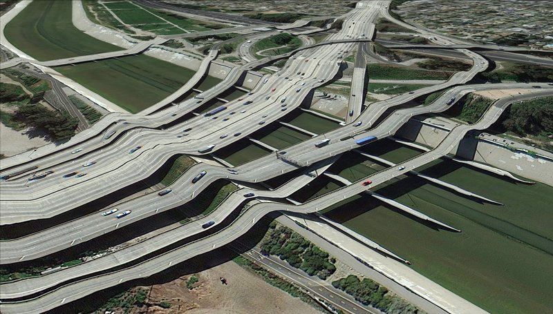
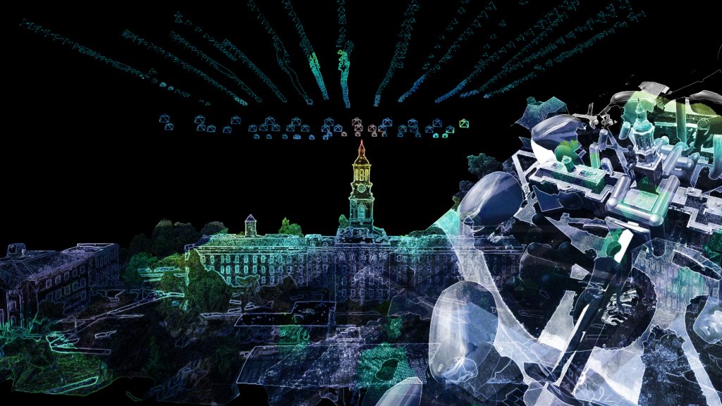
Remote sensing refers to the process of capturing information on the physical characteristics of a given site or region without directly observing it or physically going there. Contemporary remote sensing techniques have a range of applications in different fields, from monitoring the spread of forest fires in California, the course of tropical storms in the Caribbean and the extent of ice cover over the Great Lakes, to identifying the location of unauthorized swimming pools in the suburbs of LA and tracking illegal fishing fleets in the Philippines. Signals and data gathered by remote sensing techniques are often processed by machine learning algorithms. Google and Tesla, for example, employ machine learning to produce the ground truth data used to verify mapping information acquired through remote sensing techniques. These algorithms classify environmental and geographic conditions in terms of probabilities expressed in degrees of confidence. While most models are sufficiently accurate for their intended applications, unintended errors can (and often do) arise.
To the extent that remote sensing plays a role in shaping the ways by which we locate ourselves within, navigate through and otherwise inhabit the spaces we frequent on a daily basis, how might we reimagine the inevitable misclassifications and other errors that emerge as byproducts of these processes?


